Cherokee
Top Spots
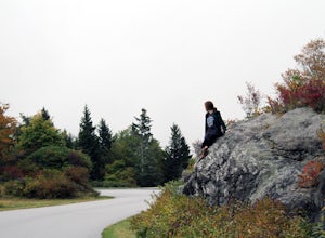
Drive the Blue Ridge Parkway from the Southern Terminus
Cherokee, North Carolina
5.0
The pinpoint for this particular entrance starts just outside of Cherokee, North Carolina, following the Parkway North.
They say the Blue Ridge Parkway is more than just a road, it's a beautiful journey. Start this journey and you will quickly find this to be true. This 469 mile gateway connects the Great Smoky Mountains National Park in North Carolina to the Shenandoah National Park in Virgin...
Oconaluftee River Trail
Cherokee, North Carolina
3.14 mi
/ 171 ft gain
Oconaluftee River Trail is an out-and-back trail that takes you by a river located near Cherokee, North Carolina.
Mingus Mill and Newton Bald Trail
Cherokee, North Carolina
10.52 mi
/ 3251 ft gain
Mingus Mill and Newton Bald Trail is a point-to-point trail where you may see beautiful wildflowers located near Cherokee, North Carolina.
Mingo Falls
Cherokee, North Carolina
4.2
0.22 mi
/ 148 ft gain
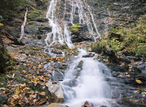
Although it is not much of a hike at just 0.3 miles, it is accessible to people of all fitness levels. A climb up a series of stairs leads you to a trail overlooking Mingo creek. You will then find a 20 foot wide bridge which serves as the viewing platform of the falls.
If you care to adventure further, feel free to hop your way over some timber and boulders to the base of the waterfall. ...
Smokemont Loop Trail
Cherokee, North Carolina
6.06 mi
/ 1627 ft gain
Smokemont Loop Trail is a loop trail where you may see beautiful wildflowers located near Cherokee, North Carolina.
Barrett Knob Fire Tower
Bureau of Indian Affairs Highway 506, North Carolina
5.0
1.21 mi
/ 400 ft gain
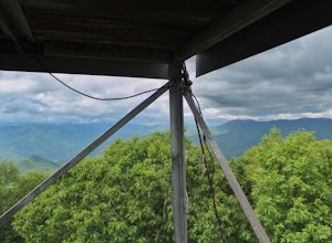
Your hike will start at the base of the Blue Ridge Parkway just a few miles from the start in Cherokee. The trail starts right off of the parkway in a very small easy to miss dirt road. There is a small area to park that then you start your hike up the dirt road right after the gate. The hike to the top is about a half mile. It is a small hike up is pretty steep. When you get to the top you can...
Chasteen Creek Trail
Cherokee, North Carolina
10.85 mi
/ 2877 ft gain
Chasteen Creek Trail is an out-and-back trail that takes you by a river located near Cherokee, North Carolina.
Bradley Fork Trail
Cherokee, North Carolina
8.44 mi
/ 1079 ft gain
Bradley Fork Trail is an out-and-back trail where you may see beautiful wildflowers located near Cosby, Tennessee.
Bradley Fork and Chasteen Creek Loop Trail
Cherokee, North Carolina
16.91 mi
/ 3579 ft gain
Bradley Fork and Chasteen Creek Loop Trail is a loop trail that takes you by a river located near Cherokee, North Carolina.
Places to stay
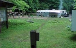
Cherokee, North Carolina
Tow String Horse Camp
Overview
Saddle up your horses for a camping trip in the stunning Great Smoky Mountains National Park. Located in the North Carolina port...
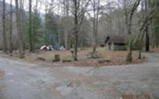
Cherokee, North Carolina
Smokemont Campground
Overview
Situated in the stunning Great Smoky Mountains National Park, this campsite offers an ideal setting to enjoy the outdoors. Ridge...
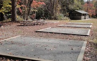
Cherokee, North Carolina
Smokemont Group Camp
Overview
Situated in the stunning Great Smoky Mountains National Park, this sunny group camp offers an ideal setting for camping excursio...
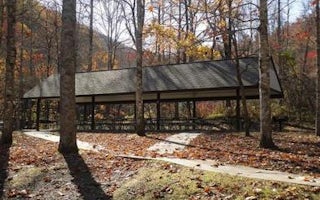
Cherokee, North Carolina
Collins Creek Picnic Pavilion
Overview
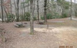
Collins Creek, tucked into picturesque mountain ranges and surrounded by pristine mountain streams, is the perfect backdrop for ...
Bryson City, North Carolina
Deep Creek Group Camp
Overview
Located next to one of the most popular creeks in the Great Smoky Mountains National Park, Deep Creek Group Camp provides tradit...
Guides and stories
Quick links
- The best hiking trails in Cherokee
- The best backpacking in Cherokee
- The best camping in Cherokee
- Top adventures in Cherokee
Community
© 2023 The Outbound Collective - Terms of Use - Privacy Policy
