Georgia
About
With whitewater rafting, hiking, biking, and more, Georgia has the activities to match the landscapes and southern soul.
Top Spots
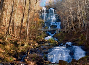
Amicalola Falls
Dawsonville, Georgia
4.3
0.73 mi
/ 292 ft gain
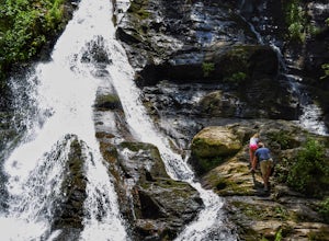
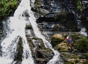
Adventurers access the falls through the state park entrance. From the parking lot, hikers follow the clearly marked signs to the base of the falls. The incline begins by the pond at the base of the falls. From the pond, follow the incline along the cascading portion of the falls to the stairs. At the stairs, ascend to the first viewing platform and snap a few shots of the falls. Continue onwar...
Blood Mountain via Byron Reece Trailhead
Blairsville, Georgia
4.7
4.34 mi
/ 1447 ft gain
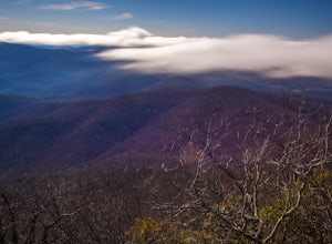
The Chattahoochee National Forest and Cohutta Wilderness make up the wild and scenic southern tip of the Blue Ridge Mountains. The Blood Mountain trail offers the day hiker a taste of the Appalachian Trail that does not disappoint.
The hike starts at the Byron Reece trailhead at Neels Gap where you follow the blue trail blazes. As is typical in the southeastern mountains, your journey begins w...
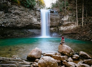
Cloudland Canyon's Waterfall Trail
Rising Fawn, Georgia
4.9
1.21 mi
/ 325 ft gain
When you enter Cloudland Canyon State Park you will drive straight through all of the 4 way stops for about 1 mile before you reach the parking lot for the Waterfall Trail. The parking area does have restrooms and picnic tables if you would like to bring a lunch.
What goes down must come up! I know that is not how that saying normally goes, but it is painfully true in this situation. The tr...
Hike and Climb to Yonah Mountain
Cleveland, Georgia
4.9
4.53 mi
/ 1417 ft gain
The trail starts at "Mt. Yonah Trailhead" and is 4.4 mile round-trip with elevation of 1,500' to 3,166'. The trail stays below moderate tree coverage until around the halfway point where you will come upon a clearing known as the first LZ (landing zone). The mountain is shared with hikers by Army Rangers in training. They will occasionally conduct training and utilize these LZ's. Along with bei...
Canyon Loop
Lumpkin, Georgia
4.4
2.15 mi
/ 236 ft gain
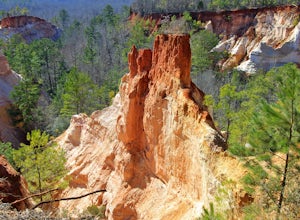
Miniscule compared to the Grand Canyon, this vibrant-colored canyon offers a unique adventure unlike any other in Georgia. The most popular way to explore the canyon is through the 4.8 mile Canyon Loop Trail in the Providence Canyon Outdoor Recreation Area. ($5 for parking)
The White Blaze Canyon Loop Trail circles nine of the canyons. To hike canyons 1–5 from the Visitor Center, hike ¼ of a m...
Hike to the Roswell Mill Ruins via Vickery Creek Trail
Roswell, Georgia
4.4
3.46 mi
/ 374 ft gain
From Riverside Road, the Vickery Creek Trail takes you alongside the creek, then to an intersection where you will turn right. Switch onto Outer Loop Trail at the next intersection, and keep an eye out for marked junctions going forward.
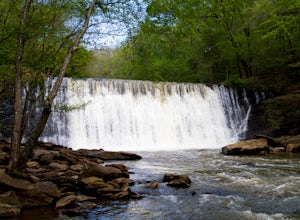
The trail will take you to the Roswell Mill waterfall, then to a covered bridge 3 miles in, before reaching the ruins of the mill, itself. There is a nice wat...
Hike to Hurricane Falls, Tallulah Gorge SP
Tallulah Falls, Georgia
4.4
1.85 mi
/ 564 ft gain
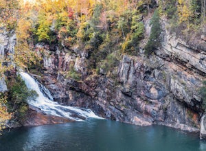
The trail is located in Tallulah Gorge State Park which is about 1 ½ hours northeast of Atlanta, off of Highway 441. There is a $5 per car entry fee into the park and they prefer the use of cash. From there, follow the signs to the Jane Hurt Yarn Interpretive Center, where there is parking and plenty of good information about the park.
Behind the Interpretive Center, start out west on the Nort...
Blue Hole and High Shoals Creek Falls
Hiawassee, Georgia
4.7
2.45 mi
/ 479 ft gain
Located just a few miles north of Helen, Georgia is this hidden gem. The road that leads up to the starting point of the hike is a bit tricky to find so make sure you have your GPS to help a little, its a gravel road that winds up the mountain for a about a mile.
The dirt trail winds down through the thick forest for a little while, the views are stunning as the light shines through just parts...
Hike the Indian Seats Trail
Cumming, Georgia
4.3
3.24 mi
/ 453 ft gain
The Sawnee Mountain Preserve is easy to get to with a GPS and offers plenty of parking. To get to the Indian Seats Trail you will start down a short (.17 mile) trail that will take you to the trailhead. The Indian Seats Trail is a loop so once you reach the marked trail you can go either left or right (all roads lead to the Indian Seats). The trail will take you around to the backside of the mo...
Places to stay

Flowery Branch, Georgia
Old Federal
Overview
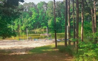
Old Federal Campground lies on the eastern banks of Lake Sidney Lanier in Northern Georgia.
Popular for its aqua-blue waters an...
White, Georgia
Upper Stamp Creek Cg
Overview
Upper Stamp Creek Campground sits on the banks of Allatoona Lake, providing visitors with a variety of water activities in the g...

Thomson, Georgia
Winfield
Overview
Winfield Campground is located on the Little River near Mistletoe State Park on J. Strom Thurmond Lake. The 70,000 acre lake and...
Cartersville, Georgia
Mckaskey Creek Cg
Overview
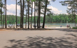
McKaskey Creek Campground is situated on Allatoona Lake on the Etowah River, a tributary of the Coosa River. The serene lake and...

Ellijay, Georgia
Doll Mountain Day Use Area Shelter
Overview
Doll Mountain Day Use Shelter is located in the North Georgia Mountains about 70 miles north of Atlanta on Carters Lake. The sp...
Guides and stories
Quick links
- The best hiking trails in Georgia
- The best backpacking in Georgia
- The best camping in Georgia
- Top adventures in Georgia
More Georgia destinations
Community
© 2023 The Outbound Collective - Terms of Use - Privacy Policy
