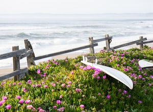
Point Reyes Station
Top Spots
Tomales Bay Trail
Point Reyes Station, California
2.02 mi
/ 203 ft gain
Tomales Bay Trail is a loop trail where you may see local wildlife located near Point Reyes Station, California.
Horse Trail, Sky Trail, Woodard Valley Trail
Point Reyes Station, California
13.16 mi
/ 2772 ft gain
Horse Trail, Sky Trail, Woodard Valley Trail is an out-and-back trail where you may see wildflowers located near Point Reyes Station, California.
Laguna, Coast Trail, Glen, Baldy, Sky Trail Loop
Point Reyes Station, California
23.43 mi
/ 4337 ft gain
Laguna, Coast Trail, Glen, Baldy, Sky Trail Loop is a loop trail where you may see beautiful wildflowers located near Point Reyes Station, California.
Mount Wittenberg via Sky Trail
Point Reyes Station, California
5.13 mi
/ 974 ft gain
Mount Wittenberg via Sky Trail is an out-and-back trail where you may see beautiful wildflowers located near Point Reyes Station, California.
Earthquake Trail
Point Reyes Station, California
0.74 mi
/ 56 ft gain
Earthquake Trail is a loop trail that is good for all skill levels located near Point Reyes Station, California.
Sky Trail Loop
Point Reyes Station, California
5.0
9.55 mi
/ 1818 ft gain
Sky Trail in Point Reyes National Seashore is a dramatic, mostly single-track trail that runs along the main spine of the Inverness Ridge and across highest mountains in Point Reyes, looming above the Olema Valley and Highway 1 which mark the San Andreas Fault rift zone and the dividing line between the Pacific and North American plates. The trail takes you through several ecological zones incl...
Sky Campground via Sky Trail
Point Reyes Station, California
2.66 mi
/ 495 ft gain
Entering Point Reyes National Seashore from Bear Valley Road the Sky Trailhead is a 4.9 mile drive. Camping in Sky Camp requires a Camping Permit.
Once at the Sky Trailhead parking lot. The Sky Trailhead will be on the left side pulling in. The hike is not very strenuous and not all that long. Once at Sky Camp, There are views of the Pacific Ocean. Relax and play some card games at nigh...
Valley, Woodward, Coast, Sky, Meadow Loop Trail
Marin County, California
13.46 mi
/ 1952 ft gain
Valley, Woodward, Coast, Sky, Meadow Loop Trail is a loop trail that takes you by a waterfall located near Olema, California.
Mount Wittenberg, Woodward Valley, Coast Trail, and Glen Camp, Bear Valley Loop Trail
Point Reyes Station, California
15.66 mi
/ 2628 ft gain
Mount Wittenberg, Woodward Valley, Coast Trail, and Glen Camp, Bear Valley Loop Trail is a loop trail where you may see beautiful wildflowers located near Point Reyes Station, California.
Places to stay
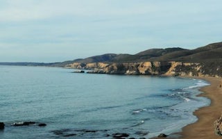
Point Reyes Station, California
Point Reyes National Seashore Campground
Overview
From its thunderous ocean breakers crashing against rocky headlands and expansive sand beaches to its open grasslands, brushy hi...
From $20 / night
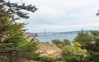
Sausalito, California
Bicentennial Campground
Overview
Bicentennial Campground is in an ideal location in the Marin Headlands surrounded by a grove of cypress trees. The campground is...
From $20 / night
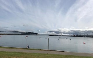
San Francisco, California
Aquatic Park Cove San Francisco Maritime Nhp
Overview
Aquatic Park Cove is a vibrantly urban harbor that mimics a natural anchorage and is located on the Pacific shores of one of Ame...
From $10 / night
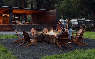
Guerneville, California
AutoCamp Russian River
Our Russian River property includes fully appointed Airstream campers, luxurious canvas tents, and a handcrafted Shelton Hut, all with pl...
From $149 / night
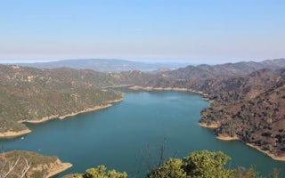
Napa, California
Oak Shores Day Use Area (Ca)
Overview
Nestled between Blue Ridge and Cedar Roughs east of Napa Valley, Lake Berryessa provides ample public recreation opportunities. ...
Guides and stories
Quick links
- The best hiking trails in Point Reyes Station
- The best backpacking in Point Reyes Station
- The best camping in Point Reyes Station
- Top adventures in Point Reyes Station
Community
© 2023 The Outbound Collective - Terms of Use - Privacy Policy


