San Juan County
Top Spots
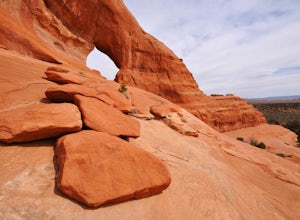
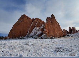
Explore Looking Glass Arch
Monticello, Utah
4.0
Getting there:From Moab, follow Highway 191 south for about 23 miles until you get to Looking Glass Road/Co. Rd. 131. Take a right and follow the road for about 2 miles and then turn left into the parking lot.It is only about 0.10 miles from the parking lot to the arch itself, but there is a ~150 ft. elevation gain. Though this arch is easily accessible going to or from Moab, it is passed by ma...
Looking Glass Arch
Monticello, Utah
0.52 mi
/ 154 ft gain
Looking Glass Arch is a loop trail that takes you past scenic surroundings located near Moab, Utah.
Climb Wilson Arch
Moab, Utah
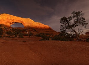
Wilson Arch is a common stop for people visiting the local national parks and Moab, but with some general climbing knowledge and gear you can make this into a longer outing. If coming from Moab, the arch is obvious on your left about 25 miles south. There is ample parking on both sides of the road.
From the parking area, hike to the right of the arch aiming for the saddle between the arch an...
Hiking to Wilson Arch
Moab, Utah
4.3
To get to Wilson Arch, drive south of Moab on US-191 S for about 25 miles. The arch is right off US-191S and there is parking on either side of the highway. Keep an eye out after you pass the LaSal Junction - the arch is visible from the road.From the parking lot there is a a very short (~0.5 mile) hike to get to the base of the arch. Watch your step during the last 50 feet of the hike - it can...
Flat Iron Mesa
Monticello, Utah
13.93 mi
/ 755 ft gain
Flat Iron Mesa is an out-and-back trail that is moderately difficult located near Moab, Utah.
Flat Iron Mesa OHV Trail
Monticello, Utah
17.42 mi
/ 1614 ft gain
Flat Iron Mesa OHV Trail is a loop trail where you may see beautiful wildflowers located near La Sal, Utah.
Picture Frame Arch Trail
Moab, Utah
26.28 mi
/ 1686 ft gain
Picture Frame Arch Trail is a loop trail where you may see beautiful wildflowers located near Moab, Utah.
Behind the Rocks OHV Trail
Moab, Utah
30.53 mi
/ 2907 ft gain
Behind the Rocks OHV Trail is a loop trail where you may see wildflowers located near Moab, Utah.
Climb Mount Tukuhnikivatz
Moab, Utah
6 mi
/ 2200 ft gain
From the parking area at La Sal Pass, follow a well defined but unmapped trail though meadow, brief forest, and then switchbacks up the prominent ridge just east of the summit ridge of Mt Tuk. Once on the ridge bear west (climbers left) along the ridge as it narrows. Depending on conditions the ridge could vary from an unenjoyable heap of rubble to an exposed knife edge of hard snow.
From the s...
Places to stay
Monticello, Utah
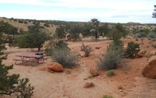
Windwhistle Group Site
Overview
The Windwhistle Group Site is ideal for small gatherings looking for a quiet retreat. The parking is limited and you must walk...
Monticello, Utah
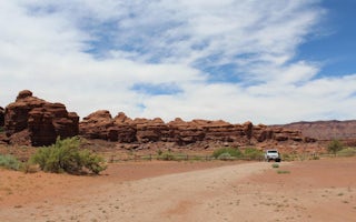
Indian Creek Falls Group Site
Overview
The Indian Creek Falls Group Site is ideal for groups wishing to recreate in the Indian Creek Corridor or to be close to Canyonl...
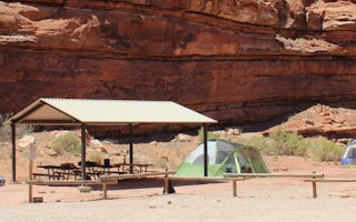
Moab, Utah
Creek Pasture Group Site
Overview
The Creek Pasture Group Site at Creek Pasture Campground is ideal for large groups wishing to recreate in the Indian Creek area,...
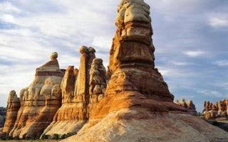
Moab, Utah
Canyonlands National Park Needles District Campground
Overview
The Needles Campground and group sites are located deep within the southern portion of Canyonlands National Park in southeastern...
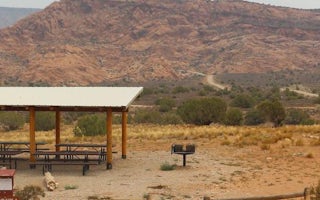
Moab, Utah
Kens Lake Group Sites
Overview
The Ken's Lake Group Sites are ideal for those wishing to be close to Moab, but away from the local highways. The lake offers s...
Guides and stories
Quick links
- The best hiking trails in San Juan County
- The best backpacking in San Juan County
- The best camping in San Juan County
- Top adventures in San Juan County
Community
© 2023 The Outbound Collective - Terms of Use - Privacy Policy
