Shasta
Top Spots
Fishermen's Trail
Redding, California
1.95 mi
/ 157 ft gain
Fishermen's Trail is a loop trail that takes you by a river located near Redding, California.
Mount Shasta Mine Loop Trail
Redding, California
3.06 mi
/ 587 ft gain
Mount Shasta Mine Loop Trail is a loop trail that takes you by a river located near French Gulch, California.
Middle Creek Trail
Redding, California
6.23 mi
/ 525 ft gain
Middle Creek Trail is an out-and-back trail that takes you by a river located near Redding, California.
Westside Trails
Redding, California
3.47 mi
/ 604 ft gain
Westside Trails is an out-and-back trail where you may see beautiful wildflowers located near Redding, California.
Wintu Loop
Redding, California
3.53 mi
/ 676 ft gain
Wintu Loop is a loop trail where you may see wildflowers located near Redding, California.
Hike Kanaka Peak
Shasta County, California
4.5
3.5 mi
/ 1100 ft gain
Head to the Peltier Bridge Campground after entering Whiskeytown National Recreation Area and then go 1.1 miles along the road through the campground until you reach the trailhead for Kanaka Peak. The road from the campground is open from late spring to late fall, otherwise hikers will need to park at the campground and hike the extra 1.1 miles to the trailhead.From the trailhead, you'll cross ...
Hike to the top of South Fork Mountain
Shasta County, California
5 mi
/ 4181 ft gain
Starting from the Kanaka Peak Trailhead, follow the Kanaka Peak Trail all the way, continuing on past the Peltier Trail Junction and the Kanaka Cutoff Trail Junction until the trail begins to head east (about 2-2.5 miles from the trailhead) and there is a gently sloping hill on your right that is comprised mainly of pine trees and a carpet of pine needles. If you continue along the trail for an...
Mule Ridge Trail
Redding, California
14.64 mi
/ 1841 ft gain
Mule Ridge Trail is an out-and-back trail where you may see beautiful wildflowers located near Redding, California.
Hike to Brandy Creek Falls in Whiskeytown National Recreation Area
Igo, California
5.0
3 mi
/ 500 ft gain
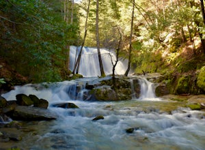
My favorite hike in Whiskeytown National Recreation Area. From the visitor center you will take Kennedy Memorial Drive towards the dam, make a left at Brandy Creek Road. At a junction for Sheep camp/Shasta Bally make a left. You will arrive at the trailhead. This hike follows a beautiful stream through forested area. There are multiple waterfalls along the way. The path is well maintained. Ther...
Places to stay
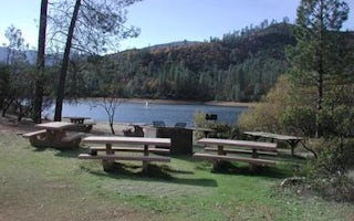
Whiskeytown, California
Whiskey Creek Group Picnic Area (Whiskeytown Nra)
Overview
Whiskey Creek Group Picnic Area is located on the northern shore of Whiskeytown Lake in Whiskeytown National Recreation Area, 1...
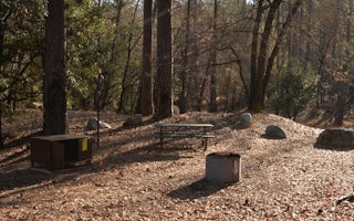
Shasta, California
Brandy Creek Primitive Campground
Overview
This campground is located in Whiskeytown National Recreation Area,19 miles west of Redding, California, and three and a half ho...
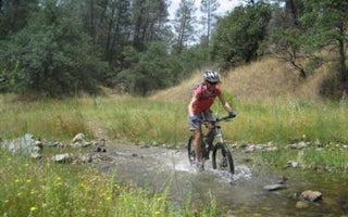
Igo, California
Sheep Camp Primitive Campground
Overview
This tent-only campground is located in the center of Whiskeytown National Recreation Area, 17 miles west of Redding, California...
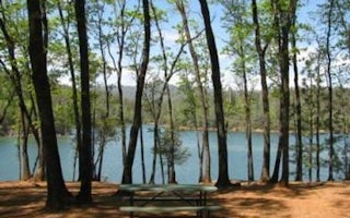
Whiskeytown-Shasta-Trinity Nra
Dry Creek Group Campground (Whiskeytown Nra)
Overview
This tent-only group campground is located on the southern shore of Whiskeytown Lake in Whiskeytown National Recreation Area, 14...
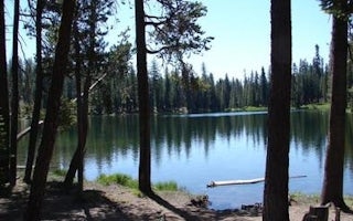
Shasta County, California
Summit Lake Stock Corral
Overview
Summit Lake Stock Corral (elevation 6,700 ft.) is conveniently located on the main road of Lassen Volcanic National Park. The...
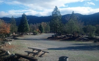
Redding, California
Shasta Campground
Camp in one of 27 tent/trailer campsites near the Chappie-Shasta Off-Highway Vehicle (OHV) area. The Chappie-Shasta OHV area offers over...
Quick links
- The best hiking trails in Shasta
- The best backpacking in Shasta
- The best camping in Shasta
- Top adventures in Shasta
Community
© 2023 The Outbound Collective - Terms of Use - Privacy Policy


