Silverado
Top Spots
Pleasants Peak via North Main Divide Traverse
Silverado, California
12.06 mi
/ 3383 ft gain
Pleasants Peak via North Main Divide Traverse is a point-to-point trail where you may see wildflowers located near Silverado, California.
Hike the Sinks Trail
Orange County, California
9.8 mi
/ 1794 ft gain
Dogs are not allowed in the park, but the trails are family friendly. This trail is often shared by hikers, mountain bikers, and trail runners. This particular loop takes between 3-4 hours depending on pace. Please note there is very little shade available along the trail.
The Sinks Trail, in Limestone Canyon Regional Park, is only open certain days of the month so check before you go!
For upd...
Black Star Canyon Trail
Silverado, California
6.71 mi
/ 1201 ft gain
Black Star Canyon Trail is an out-and-back trail that takes you by a waterfall located near Silverado, California.
Hike the Black Star Canyon Trail
Silverado, California
6.8 mi
/ 1013 ft gain
The Black Star Canyon Trail is 6.8 miles out and back, which allows dogs and mountain biking. This trail is also good for nature trips and birding. The trail follows a river and you will pass by some interesting caves. The trail is open year round, but is best experienced after it rains to ensure the stream and waterfall are flowing. Beware of poison oak!
You can access the trail via Highway 24...
Hike to Black Star Canyon Falls
Silverado, California
4.8
7.5 mi
/ 913 ft gain
Waterfalls in Orange County are far and few between, with the best lying near and inside the Cleveland National Forest. Black Star Canyon Falls are some of the best just after a rain if you are heading out during a dry time of the season you should still expect to see some water. Free parking, easy directions and a WATERFALL you can't pass up this much beauty. The only limitation for some is th...
Harding Truck Trail
Silverado, California
27.46 mi
/ 5745 ft gain
Harding Truck Trail is an out-and-back trail where you may see beautiful wildflowers located near Trabuco Canyon, California.
Harding Falls Trail
Silverado, California
5.0
5.96 mi
/ 1378 ft gain
The lot provides free parking, with plenty of spaces available throughout the day.
The first few miles feature a descent into the canyon on a defined trail out in the open. The way back up is a decent incline in the sun!
Be prepared, because even though 6+ miles may not seem too hard, this hike was a few hours of climbing over and under fallen trees, rocks, poison oak, spider webs with spi...
Bedford Peak Trail
Silverado, California
5.0
6.78 mi
/ 1972 ft gain
Bedford Peak Trail is an out-and-back trail where you may see wildflowers located near Silverado, California.
Silverado Canyon Motorway Trail
Silverado, California
5.83 mi
/ 1962 ft gain
Silverado Canyon Motorway Trail is an out-and-back trail that is moderately difficult located near Trabuco Canyon, California.
Places to stay
Lake Arrowhead, California
Dogwood
Overview
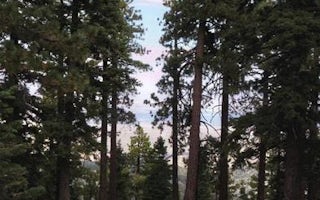
Dogwood Campground is a family-friendly facility located in the heart of the San Bernardino National Forest. All sites must be r...
Azusa, California
Jackson Flats
Overview
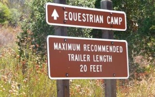
Jackson Flats is a group camping facility located next to beautiful Grassy Hollow Visitor Center, which holds numerous nature pr...
Temecula, California
Dripping Springs Campground (Ca)
Overview
Dripping Springs campground is a wonderful campground adjacent to the Agua Tibia Wilderness.Recreation
Recreation in the area in...

Running Springs, California
Getaway Big Bear
A Handcrafted Hideaway
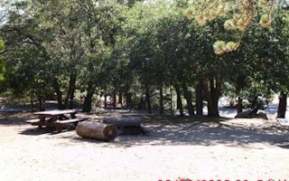
Enjoy your tiny spot in nature - our collection of 40 cabins is spread across 57 acres. The cabins are scattered ...
From $189 / night
Valyermo, California
Lake Campground
Overview
Lake Campground offers an excellent escape from the city, just a short drive northeast of the Los Angeles metro area. It's set o...
Guides and stories
Quick links
- The best hiking trails in Silverado
- The best backpacking in Silverado
- The best camping in Silverado
- Top adventures in Silverado
Community
© 2023 The Outbound Collective - Terms of Use - Privacy Policy


