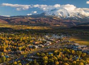
Carbondale
Top Spots
Rio Grande Trail: Carbondale to Mulford
Carbondale, Colorado
6.17 mi
/ 82 ft gain
Rio Grande Trail: Carbondale to Mulford is an out-and-back trail that takes you past scenic surroundings located near Carbondale, Colorado.
Red Hill via Blue Ribbon and Three Gulch Trail
Carbondale, Colorado
2.98 mi
/ 909 ft gain
Red Hill via Blue Ribbon and Three Gulch Trail is a loop trail where you may see beautiful wildflowers located near Carbondale, Colorado.
Mushroom Rock
Carbondale, Colorado
2.04 mi
/ 797 ft gain
Mushroom Rock is an out-and-back trail that takes you by a river located near Carbondale, Colorado.
Red Hill Via Three Poles, Mushroom Rock, Roller Coaster and Skeeter's Ridge Loop
Carbondale, Colorado
3.31 mi
/ 883 ft gain
Red Hill Via Three Poles, Mushroom Rock, Roller Coaster and Skeeter's Ridge Loop is a loop trail that provides a good opportunity to view wildlife located near Carbondale, Colorado.
Rio Grande Trail: Carbondale Campground to Roaring Fork River
Carbondale, Colorado
7.25 mi
/ 79 ft gain
Rio Grande Trail: Carbondale Campground to Roaring Fork River is an out-and-back trail where you may see beautiful wildflowers located near Carbondale, Colorado.
Trail Run Mushroom Rock and Red Hill
Carbondale, Colorado
5.0
3 mi
Mushroom Rock sits high above Colorado Highway 82 overlooking the town of Carbondale. With huge views up the Crystal and Roaring Fork River Valleys, terrain that inspires more desert-Utah than Rocky-Mountain-Colorado, this recreation area feels like a getaway even when it is minutes from Main Street.Start by parking in the lot at the bottom of County Road 107 on the North side of Highway 82. Wa...
Camp at Prince Creek
Carbondale, Colorado
3.0
From Colorado State Highway 82, turn south onto Highway 133 (toward Carbondale). Continue south past the Carbondale Main Street roundabout. After two miles, turn East onto Prince Creek Road. Follow this four miles to where the pavement ends. After passing through a cattle gate, BLM land lines the road except for areas where private property signs are posted (PLEASE DO NOT CAMP ON PRIVATE PROPER...
Mountain Bike Prince Creek
Carbondale, Colorado
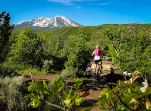
Turn south off Colorado State Highway 82 onto Highway 133 toward Carbondale. Continue south past the Carbondale Main Street roundabout. After two miles, turn East onto Prince Creek Road. Follow this four miles to where the pavement ends. This is the best place to park to start biking or running.From there, head up the road until you reach a large cattle gate. If you’d rather start riding single...
Spring Gulch Cross-Country Skiing Trail System
Carbondale, Colorado
5.65 mi
/ 600 ft gain
Spring Gulch Cross-Country Skiing Trail System is a loop trail where you may see local wildlife located near Carbondale, Colorado.
Places to stay
Marble, Colorado
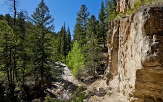
Thompson Creek Campground
The Thompson Creek Recreation Management Area is located just a few miles southwest of Carbondale and provides beautiful, remote recreati...
Carbondale, Colorado
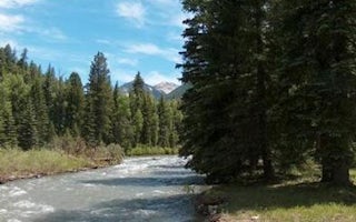
Bogan Flats Campground Grp S
Overview
Bogan Flats Campground stretches along the Crystal River in a valley of aspen groves, towering Ponderosa Pine, spruce, and willo...
Basalt, Colorado
Mollie B White River
Overview
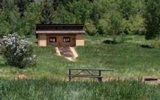
Located approximately 14 miles east of Basalt, Colorado in White River National Forest, Mollie B White River Campground sits adj...
Basalt, Colorado
Little Maud Campground
Overview
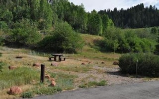
Located approximately 14 miles east of Basalt, Colorado, in the White River National Forest, Little Maud Campground is situated ...
Basalt, Colorado
Ruedi Marina Campground
Overview
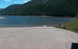
Located approximately 14 miles east of Basalt, Colorado, in the White River National Forest, Ruedi Marina Campground is situated...
Guides and stories
Quick links
- The best hiking trails in Carbondale
- The best backpacking in Carbondale
- The best camping in Carbondale
- Top adventures in Carbondale
Community
© 2023 The Outbound Collective - Terms of Use - Privacy Policy


