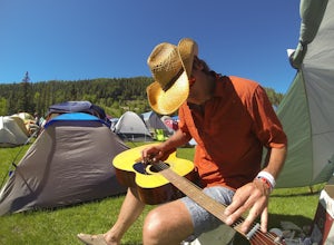
Montrose
Top Spots
Warner Route
Crawford, Colorado
4.33 mi
/ 3228 ft gain
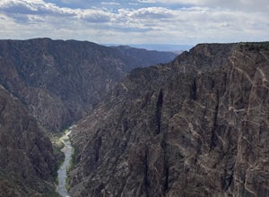
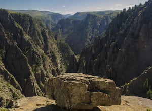
Warner Route is an out-and-back trail that takes you by a river located near Montrose, Colorado.
Warner Point Nature Trail
Crawford, Colorado
5.0
1.52 mi
/ 279 ft gain
Warner Point Nature Trail is an out-and-back trail that takes you by a river located near Montrose, Colorado.
Snowshoe in Black Canyon of the Gunnison National Park
Montrose County, Colorado
2 mi
/ 377 ft gain
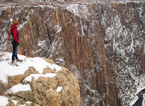
Winter is a great time to visit Black Canyon of the Gunnison National Park. Covered in snow, the canyon seems even more dramatic and sheer. The park road is plowed up until the visitor center, and there is no entrance fee in the winter. The rest of the park road is groomed for cross country skiing and snowshoeing. Snowshoes are also available to borrow in the visitor center. Just ask for them a...
Sunset View Trail
Crawford, Colorado
0.09 mi
/ 30 ft gain
Sunset View Trail is an out-and-back trail where you may see local wildlife located near Montrose, Colorado.
Dragon Point Trail
Crawford, Colorado
0.37 mi
/ 52 ft gain
Dragon Point Trail is an out-and-back trail where you may see local wildlife located near Montrose, Colorado.
Drive the East Portal Road
Montrose, Colorado
Want an easier way to get to the bottom of the canyon without the rugged hiking trails? Drive to the bottom via the East Portal Road. Open once the harsh winter breaks, this road switchbacks its way to the bottom at the meeting place of Curecanti National Recreation area and Black Canyon of the Gunnison National Park.
The road is really steep, with many switchbacks and therefore only vehicles o...
Cedar Point Nature Trail
Crawford, Colorado
0.42 mi
/ 167 ft gain
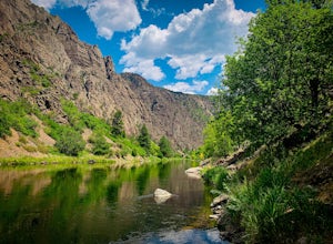
Cedar Point Nature Trail is an out-and-back trail that takes you by a river located near Montrose, Colorado.
Camp at Black Canyon of the Gunnison's South Rim Campground
Montrose, Colorado
5.0
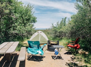
The South Rim Campground is located about 6 miles inside Black Canyon of the Gunnison National Park. There are a total of 88 sites, 34 of which are available year-round. Reservations are definitely recommended, but are not required - loop C is first-come, first-served. Loop B fills up first, as it has electrical hookups, but chances are you'll be able to find a site up to a week before you go.
...
Hike to Tomichi Point and Gunnison Point Overlooks
Montrose, Colorado
5.0
2 mi
To access the South Rim of the Black Canyon of the Gunnison National Park, take US 50 and CO 347 to the south entrance, 15 miles east of Montrose. There is no bridge between the north and south rims of the canyon - make sure you enter from the Montrose side.After passing through the entrance station, follow signs to the South Rim Campground. The Rim Rock trailhead is just off of Loop C. If you ...
Places to stay
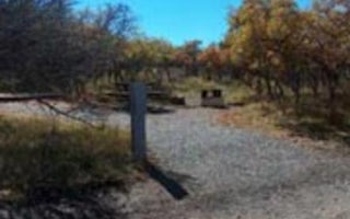
Montrose, Colorado
Black Canyon Of The Gunnison Np South Rim Campground
Overview
A camping trip to the Black Canyon of Gunnison National Park makes for a beautiful getaway for sightseeing, stargazing, and hiki...
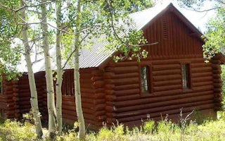
Olathe, Colorado
Silesca Cabin
Overview
The historic Silesca Cabin, once used as a Ranger Station, is a semi-rustic dwelling with comfortable modern conveniences like e...
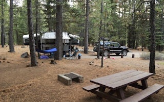
Delta, Colorado
Cottonwood Grove Campground
Situated among mature cottonwood trees along the Gunnison River, this campground has 6 campsites, including one ADA accessible site with ...
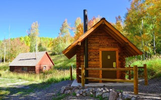
Gunnison, Colorado
Jackson Guard Station
Overview
Jackson Guard Station is a great destination for anything from a weekend getaway to a week-long hunting trip. The cabin was orig...
Guides and stories
Quick links
- The best hiking trails in Montrose
- The best backpacking in Montrose
- The best camping in Montrose
- Top adventures in Montrose
Community
© 2023 The Outbound Collective - Terms of Use - Privacy Policy

