Tulare County
Top Spots
Camp at Lower Springhill
Kernville, California
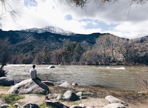
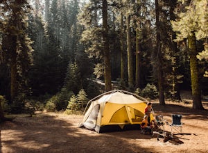
The Lower Springhill Campground is a primitive campsite situated along the Kern River in the southern area of Sequoia National Forest. Since this is a primitive campground, there is no potable water, bathrooms or garbage service. You must pack out what you bring in.The campground is easily accessible from Mountain Highway 99, which cuts through the National Forest. There are no established camp...
Packsaddle Cave via Rincon Trail
Kernville, California
7.68 mi
/ 2677 ft gain
Packsaddle Cave via Rincon Trail is an out-and-back trail that takes you by a waterfall located near Kernville, California.
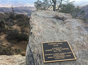
Hike up Powers Peak in Kernville
Kernville, California
10 mi
/ 3200 ft gain
High Level Details:
~10 Miles Round Trip~3,200 feet total elevation gain for tripTrailhead elevation: 2,811 feetHighest Point on the trail: Powers Peak, 5,778 feetEstimated Time to complete: 4-5 hoursNo water source along the way, so bring plenty of water Dog friendly? Yes! We love bringing Lincoln on this hike and there is hardly ever anyone on itNo Permits needed
Camping and Lodging Informati...
Cannell Peak from Sierra Way
Kernville, California
28.76 mi
/ 7707 ft gain
Cannell Peak from Sierra Way is an out-and-back trail where you may see wildflowers located near Kernville, California.
Cannell Meadow Trail
Kernville, California
21.02 mi
/ 5623 ft gain
Cannell Meadow Trail is a loop trail where you may see wildflowers located near Kernville, California.
Dispersed Camp along Salmon Creek in Sequoia NF
Kernville, California
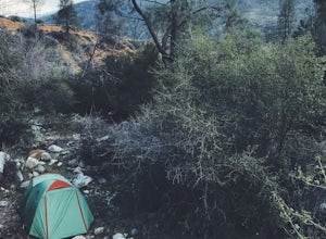
There are several dispersed campsites found throughout the Sequoia National Forest. The majority can be found by driving on any of the OHV accessible roads. This particular campsite can be found at coordinates 35.89759, -118.4628. In order to get to the campsite, use Google Maps to get you to the area. The OHV roads required to get to the site are visible via the Satellite view. There is no ser...
Whiskey Flat Trail
Kernville, California
11.94 mi
/ 1316 ft gain
Whiskey Flat Trail is an out-and-back trail that takes you by a river located near Kernville, California.
Bull Run Creek Trail
Kernville, California
1.65 mi
/ 75 ft gain
Bull Run Creek Trail is an out-and-back trail that takes you by a river located near Kernville, California.
Packsaddle Cave Trail
Kernville, California
4.72 mi
/ 1640 ft gain
Packsaddle Cave Trail is an out-and-back trail that takes you by a river located near California Hot Springs, California.
Places to stay
Mountain Highway 99
Goldledge Campground
Overview
Goldledge Campground is situated along the Kern River, 10 miles north of the town of Kernville. Hiking, fishing, kayaking and ra...
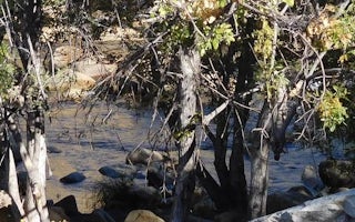
100 Mountain Highway 99
Hospital Flat
Overview
Hospital Flat Campground is situated along the Kern River, 6.5 miles north of the town of Kernville. Hiking, fishing, kayaking a...

1941 Kern River Highway
Fairview Campground
Overview
Fairview Campground sits in an area dotted with oak and gray pine along the Upper Kern River, a designated Wild and Scenic River...
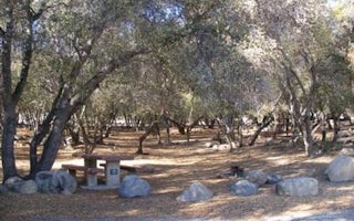
Wofford Heights, California
Tillie Creek
Overview
Tillie Creek campground is nestled in oak trees on the shores of Lake Isabella, a popular destination for water activities, espe...
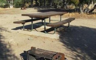
Wofford Heights, California
Live Oak South
Overview
Reservations not being accepted. Live Oak South Campground is located across the road from Lake Isabella, a popular destination...
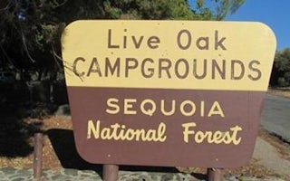
Wofford Heights, California
Live Oak
Overview
Reservations not being accepted. Live Oak Campground is located across the road from Lake Isabella, a popular destination for b...
Guides and stories
Quick links
- The best hiking trails in Tulare County
- The best backpacking in Tulare County
- The best camping in Tulare County
- Top adventures in Tulare County
Community
© 2023 The Outbound Collective - Terms of Use - Privacy Policy
